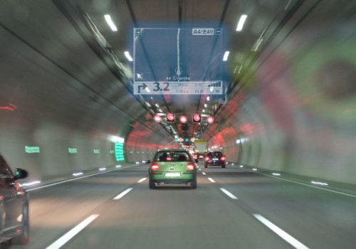
As the country holds more than 1,200 road tunnels (with some 24km long), locating emergency calls and safely managing everyday working teams is a keen edge in operating those tunnels. Maintenance agents need to be located to prevent any accident, as well as rescue forces gain from GPS coverage to be guided during interventions. And common users are not at rest, since the technology used is GPS-based, every device equipped with standard GPS chipset (smartphone, car embedded GPS system, etc.) will benefit from the coverage and will ensure the continuity of service.
Getting precise positioning with GPS based data
The SubWAVE Zone mode is being deployed on a 1,2 km portion of the tunnel, with 9 zones defined. Technically, this means that every 125m, an antenna broadcasts the signal generated by the SubWAVE Simulator. Thanks to algorithms coupled with other data (like inertial from a car), the operational level of precision is more than enough to guide users and rescue forces with accuracy. Besides, considering that a moving car needs a GPS position every 60m to ensure accurate positioning, the apparatus is even more than enough, with computed precision of 62,5m, corresponding to the overlying zones.
Calibrating from France
Since SubWAVE solution is software-based, its calibration and deployment are eased. Once antennas and SubWAVE Simulators are installed, the technical calibration is done remotely by Syntony’s engineers from our Toulouse and Paris offices. This method not only allows deployment at reduced costs and optimized time, but it also ensures easy maintenance with efficiency.
As a result, both workers and users will benefit from a world scaled safety net, allowing rescue forces to quickly provide assistance, as well as an everyday tool to optimize work efficiency or simply improve trips experience.
