Allowing GPS-based fleet monitoring in covered bus terminals
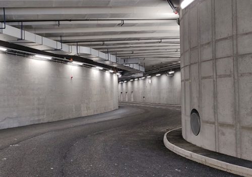
GPS signal will no longer be lost when the buses enter the new Haninge Terrassen Terminal. Earlier this March 2021, Syntony GNSS and RF Coverage AB deployed SubWAVE™ Continuous technology in the concrete-covered facility.
Using leaky feeders, SubWAVE™ Continuous technology emulates the GPS signal for every receiver in the area. They are then able to compute their own position with an accuracy similar to outside urban environments. Traffic Managers and professionals can determine if their buses are stopped or moving in the terminal, and even in which slot they are parked! And an additional software can narrow down the accuracy to a 5-meter level.
Additionally, this information can be passed on to provide very accurate passenger information, improving user experience of the service. Haninge commuters will be able to better plan their journey, directly from the feed on SL website and smartphone app, along with navigating inside the bus terminal with ease.
Enabling every single GPS-based application, including public users and emergency services
Since most smartphones are equipped with GPS chipsets, the signal emulated by SubWAVE™ can be understood natively, even in non-dedicated applications like Google and Apple Map. This access to GPS-based indoor positioning enables common services originally used outdoors only. The public can benefit from GPS-based guidance, and rescue forces can enhance their response efficiency to emergencies:
Indeed, the GPS coverage extension allows location of emergency calls! With this information, rescue forces can access the victims more efficiently, saving precious time, and lives.
Stockholm underground subway is already fully equipped with the SubWAVE™ Zone technology, and with this new installation, SL maintains its leadership in quality of service to its 320 million annual passengers.
For more information about SubWAVE™ solutions, contact us here.
